Blue Hills Reservation Trail Map
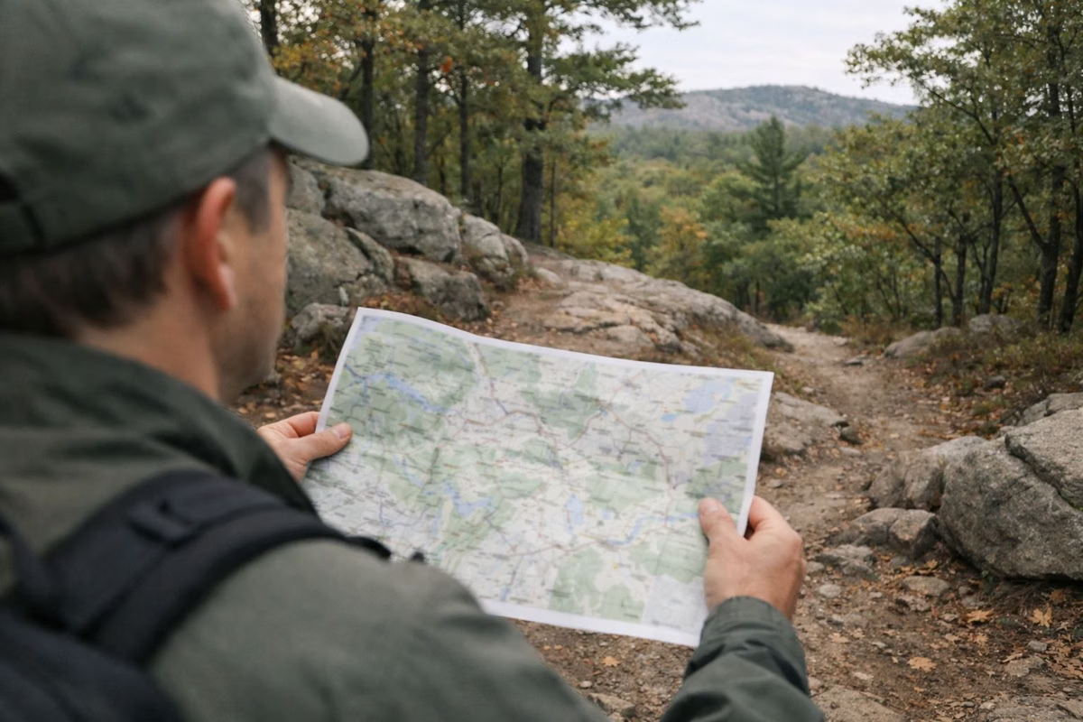
The official Blue Hills trail map is DCR's Blue Hills Reservation Trail Map & Guide. It's a free PDF download from mass.gov, and a printed color copy is sold at Reservation Headquarters in Milton and at the Trailside Museum. The 2026 edition covers more than 120 miles of trails, with color-coded loops and numbered intersections that match small white signs in the woods.
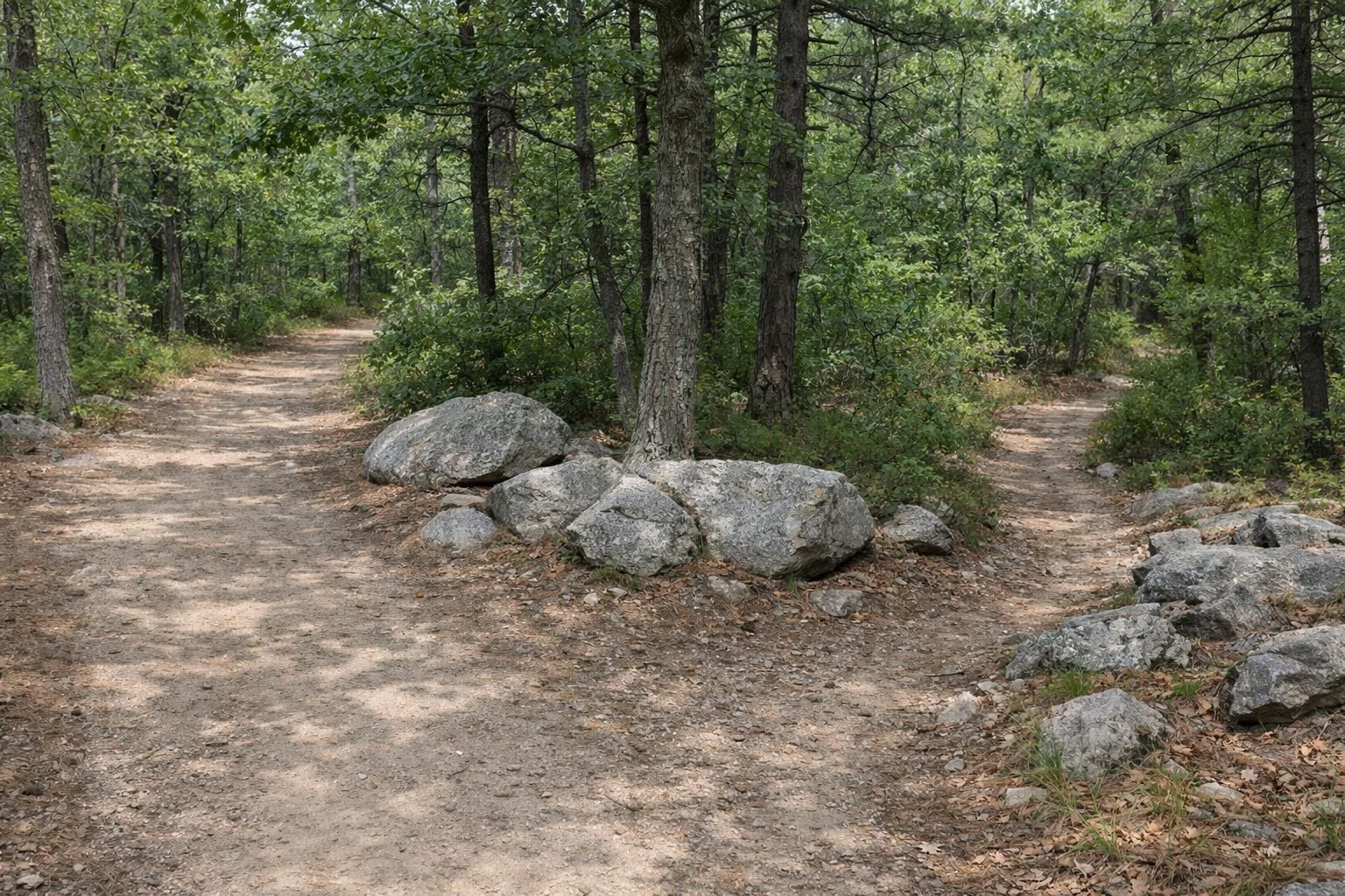
Bring a map even if you hike here often. The trail network is dense, many paths look alike, and DCR's own advice is to carry a map on every hike.
The Color-Coded Trails
Distances, times and ratings from DCR's 2026 trail map.
The ridge trail across the whole range. The 2.6-mile Skyline Loop from headquarters is the popular sample.
Short loops for a quick walk, about an hour or less, such as the Houghton's Pond Loop.
Woodland loops of 2 to 2.25 hours, including the Ponkapoag Pond and Wolcott Hill loops.
Rugged, rocky loops over the hills, including the climbs of Great Blue Hill and Buck Hill.
A rolling loop from Houghton's Pond, one direction only (counterclockwise). Good for novice mountain bikers.
A rocky loop in the Great Blue Hill section for advanced riders and strong hikers, counterclockwise only.
Where to Get the Map
- Download: DCR's Trail Map & Guide PDF on mass.gov (about 9 MB). It has the full map on one side and park information on the other.
- Download, simpler: DCR's Color Coded Hiking Trails PDF, a lighter file that shows only the marked routes.
- Buy a printed copy: at the self-service information station at Reservation Headquarters, 695 Hillside Street, Milton, or in the Trailside Museum gift shop. DCR says the printing is paid for by Mass Audubon's Trailside Museum, and proceeds fund more maps.
- Mountain bikers: use DCR's separate mountain bike map, which marks open trails in black and closed trails in red.
One practical note from DCR: the printed map's ink can fade in sunlight, so don't leave it on the dashboard.
How the Trails Are Marked
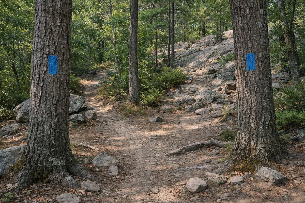
DCR blazes its recommended routes with painted symbols that match the map legend. The system is simple once you know it:
- Blue rectangles: the Skyline Trail, the ridge route across the reservation.
- Dots: loop trails that start and end at the same parking area. Yellow is easy, green is moderate, red is challenging.
- Triangles: two directional loops from the Houghton's Pond main lot, marked one way only and followed counterclockwise.
- Double blazes: a turn or an intersection is coming.
Not every path is blazed. DCR warns that some trails may not be well marked and some aren't on the map at all, so stick to the marked routes until you know the area.
Using the Intersection Numbers
This is the most useful thing on the map. Small white signs with black four-digit numbers are posted on trees and posts at trail junctions. Every number is printed on the map, so when you reach a sign you can find exactly where you are. DCR's own hike directions are written this way: for example, the Skyline Loop turns left at intersection 1066 on the way back to headquarters.
The first digit roughly tells you which part of the park you're in. On DCR's map, numbers in the 1000s are around headquarters and Great Blue Hill, the 2000s around Houghton's Pond and Buck Hill, the 3000s around Braintree Pass, the 4000s around Quincy, and the 5000s around Ponkapoag Pond.
Reading the Terrain
DCR's map shows elevation contours at 20-foot intervals. Lines packed close together mean a steep climb. That matters here: DCR says more than 40 miles of the trail network is rocky terrain, and the steepest of it is on the hills the Skyline Trail crosses.
Which Part of the Map to Start With
- First visit, want a summit: Great Blue Hill from the Trailside Museum.
- Family walk: the Houghton's Pond Loop, flat and under a mile.
- Quiet woods and water: the Ponkapoag Pond Loop in Canton.
- A workout: the Skyline Loop from headquarters.
More detail on each, with distances and starting points, is on our best hikes page.
Trail Map FAQ
Where can I get a Blue Hills trail map?
Download DCR's Blue Hills Trail Map & Guide as a free PDF from mass.gov, or buy a printed color map at Reservation Headquarters, 695 Hillside Street in Milton, or at the Trailside Museum gift shop.
How many miles of trails are in the Blue Hills?
DCR's 2026 trail map says more than 120 miles. Older DCR pages say 125. DCR calls the reservation the largest open space within 35 miles of Boston.
What do the numbers on the Blue Hills trail signs mean?
They're intersection numbers. Each small white sign with a four-digit number matches a number printed on the DCR map, so you can find your exact location at any junction.
What do the trail colors mean in the Blue Hills?
Blue rectangles mark the Skyline Trail. Dots mark loop trails: yellow for easy, green for moderate and red for challenging. Triangles mark two one-way loops from Houghton's Pond.
Facts from the DCR page for Blue Hills Reservation.