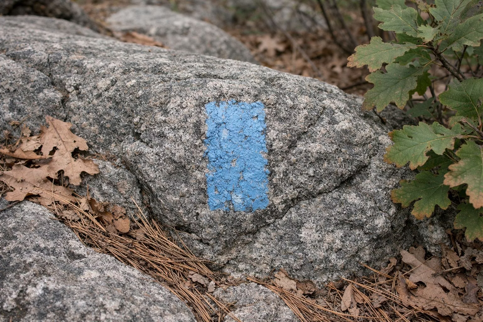
Skyline Trail
The Skyline Trail is the blue-blazed ridge trail that runs the length of the Blue Hills Reservation, climbing over the summits from Quincy to Great Blue Hill. DCR rates it difficult. The full traverse is 7.5 miles one way and takes 4 to 7 hours. Most people hike the 2.6-mile Skyline Loop from Reservation Headquarters in Milton to Eliot Tower and back.
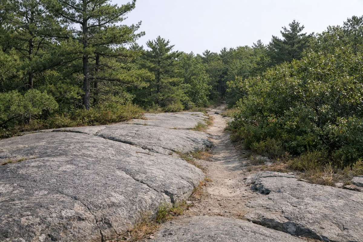
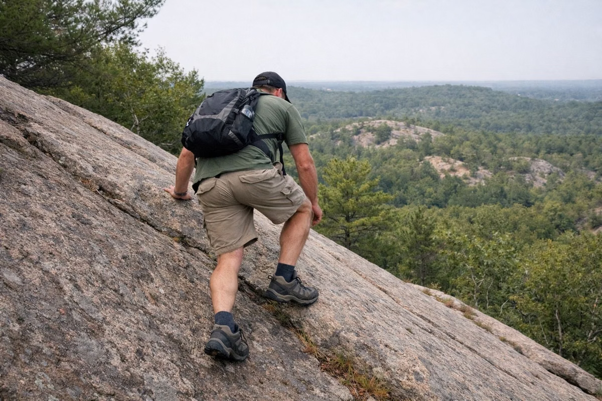
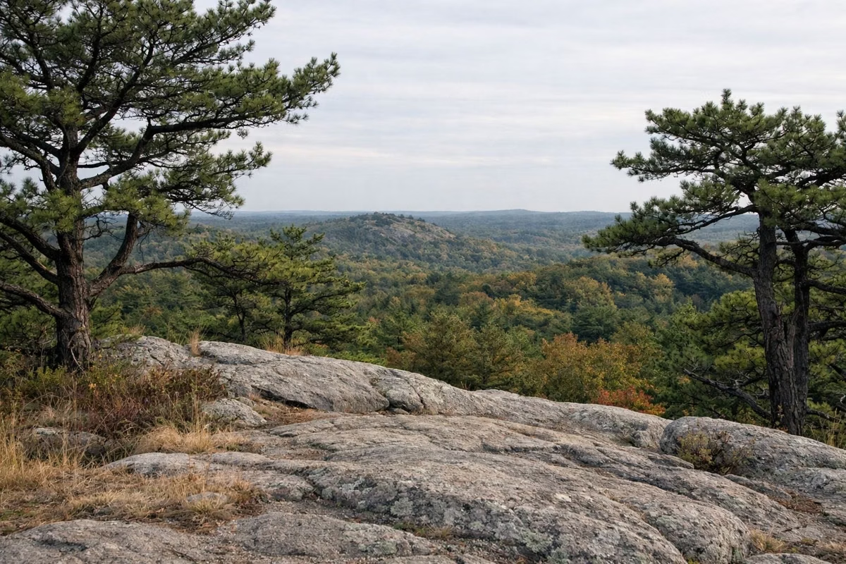
It's the best-known trail in the park for a reason: short, steep and rocky, with open ledges and views of the Boston skyline. It's also harder than its length suggests, so give it more time than a flat walk of the same distance.
Skyline Trail at a Glance
Skyline Loop vs. the Full Skyline Traverse
DCR describes two ways to hike the Skyline Trail. The Skyline Loop is the popular sample. The Skyline Traverse is the whole thing, east to west across the range.
- Skyline Loop: 2.6 miles, 2 to 2.5 hours, difficult. It links the north and south branches of the Skyline Trail between Reservation Headquarters and Eliot Tower and climbs five hilltops on the way.
- Skyline Traverse: 7.5 miles, 4 to 7 hours, difficult. DCR calls it the longest and most challenging hike in the park. It's not a loop, so you need a car or a ride waiting at the other end.
A note on distance: DCR's 2026 trail map lists the Skyline Loop at 2.6 miles, while its older hiking page and suggested-hikes sheet say about 3 miles. Either way, plan on two hours or more.
How to Hike the Skyline Loop
The loop starts behind Reservation Headquarters at 695 Hillside Street, Milton, MA 02186. Parking for hikers is across the street; the spaces in front of headquarters are limited to 10 minutes. See our parking page for backup lots.
- Follow the blue blazes up the stone steps onto Hancock Hill.
- Stay on the blue blazes west over Hemenway Hill and along the ridge toward Great Blue Hill.
- At the summit, climb Eliot Tower for the view, then follow the path around the summit and over the stone Eliot Bridge.
- Turn left at intersection 1066 onto the south branch of the Skyline Trail and follow the blue blazes back to Hillside Street.
The white signs with four-digit numbers on trees and posts mark trail intersections. Match them to the numbers on the DCR trail map and you'll always know where you are. Double blazes mean a turn or an intersection is coming.
What Makes It Hard
The hills aren't tall by mountain standards. Great Blue Hill, the highest of the 22 hills in the chain, is 635 feet above sea level. What makes the Skyline Trail hard is the terrain. DCR's map describes it as steep, rugged and rocky, and the loop alone summits five hilltops in about two and a half miles. Expect steep climbs and descents over bare rock.
- Wear shoes with real grip. Smooth rock gets slick, especially when it's wet.
- Bring water. DCR warns that drinking water may not be available, and the ledges are exposed to the sun.
- Wet rock and ice change everything. After rain or a freeze, the descents are the most dangerous part.
- DCR's average hiker pace is 1.5 miles per hour. On the Skyline, many people are slower.
The Summits Along the Way
The Skyline Trail crosses many of the hills in the range. On the loop, Hancock Hill, Hemenway Hill and Great Blue Hill are the big ones. Farther east, the traverse crosses Buck Hill (493 feet on DCR's map) and Chickatawbut Hill (512 feet), with Boston skyline views from several ledges.
Buck Hill is the easiest big view to reach from Houghton's Pond. DCR's 3.5-mile Buck Hill Loop follows red dots from the pond, then joins the Skyline Trail over Tucker Hill and Buck Hill. More options are on our best hikes page.
Planning the Full Traverse
Because the traverse is one way, the planning is mostly about cars. Hikers usually leave one car at each end or arrange a pickup. DCR doesn't publish a single official start and finish, so use the 2026 trail map to pick lots that work for you.
- Start early. DCR's estimate is up to 7 hours, and the park closes at dusk.
- Know your bail-out points. Several roads cross the range, including Route 28 and Chickatawbut Road, if you need to cut it short.
- Carry the map. Some trail junctions on the east end are less obvious, and DCR notes some trails may not be well marked.
If you plan to park at the Donovan School lot at 123 Reed Street in Randolph, note DCR's rule: no hiker parking there during school hours (7 a.m. to 3 p.m.). DCR suggests Fisherman's Beach near 1060 Randolph Street in Canton or the Randolph Little League fields on High Street instead.
Rules on the Skyline Trail
Dogs are allowed on a leash; DCR's suggested-hikes sheet says a 10-foot leash maximum. Mountain bikes are not allowed on trails east of Route 28 or north of I-93, which takes in much of the eastern Skyline. Stay on marked trails: the Blue Hills are home to protected timber rattlesnakes and copperheads, which DCR says avoid people and don't bite unless provoked. The full list is on our rules page.
Skyline Trail FAQ
How long is the Skyline Trail in the Blue Hills?
The full Skyline Traverse is 7.5 miles one way and takes 4 to 7 hours, according to DCR's 2026 trail map. The popular Skyline Loop from Reservation Headquarters to Eliot Tower is 2.6 miles and takes 2 to 2.5 hours.
How hard is the Skyline Trail?
DCR rates both the loop and the full traverse as difficult. The hills are under 650 feet, but the trail climbs up and down steep, rocky ground over several summits.
Where does the Skyline Loop start?
Behind Reservation Headquarters at 695 Hillside Street, Milton, MA 02186. Hiker parking is across the street; the spaces at headquarters are limited to 10 minutes.
What color is the Skyline Trail blaze?
Blue rectangles. Loop trails in the reservation use dots instead: yellow for easy, green for moderate and red for challenging.
Can you bring a dog on the Skyline Trail?
Yes, on a leash. DCR's suggested-hikes sheet sets a 10-foot maximum leash length. The Trailside Museum grounds at the foot of Great Blue Hill do not allow dogs.
Can you mountain bike the Skyline Trail?
Not on most of it. DCR bans mountain biking east of Route 28 and north of I-93, and its bike map marks which trails are open to bikes in black.
Facts from the DCR page for Blue Hills Reservation.