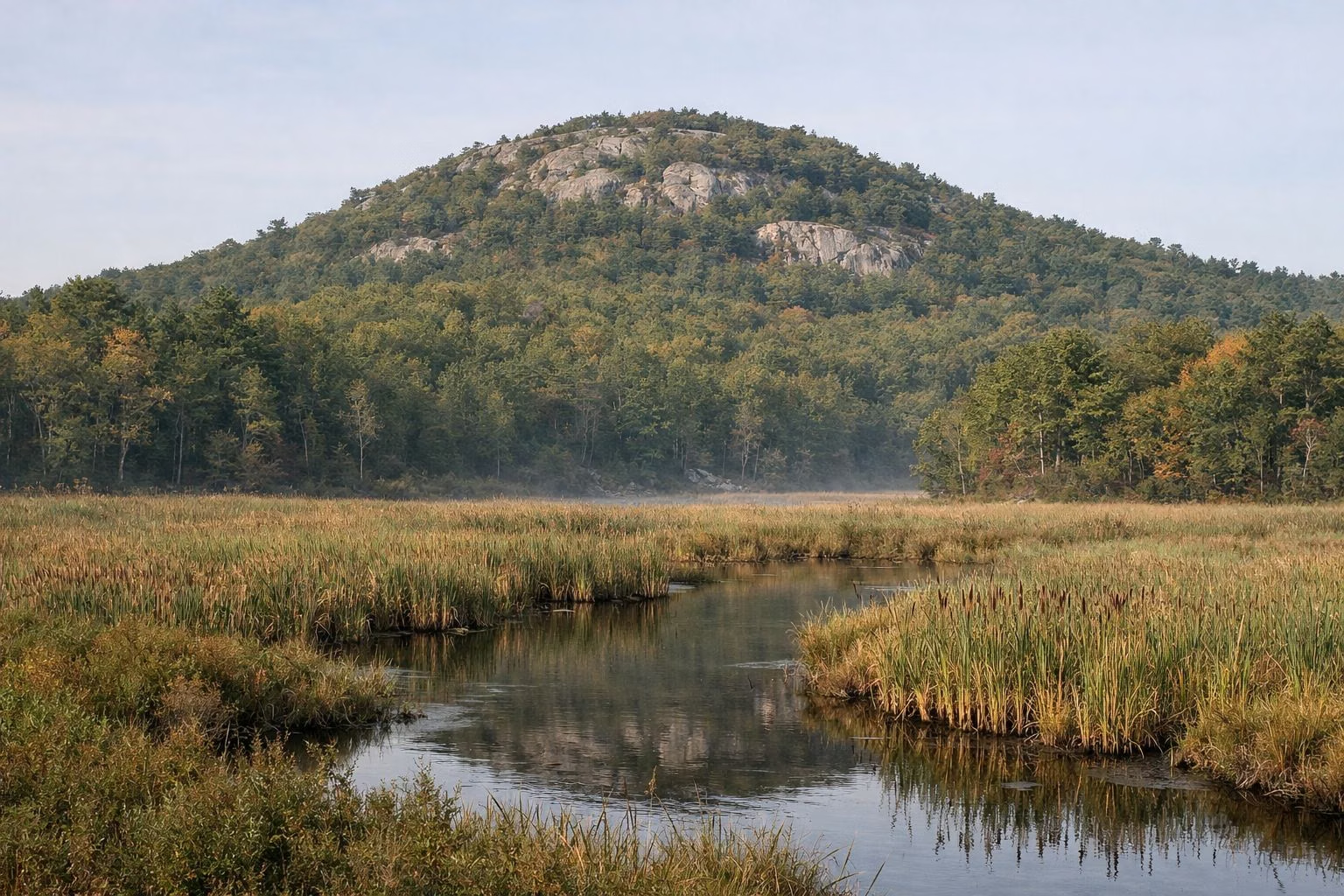
Great Blue Hill & Eliot Tower
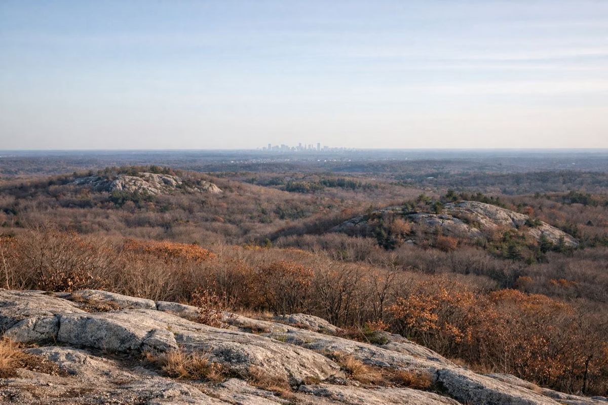
Great Blue Hill is the highest point in the Blue Hills Reservation, 635 feet above sea level, and its summit has a view over all of Greater Boston. The usual hike is about 1 mile on the red dot trail from the Trailside Museum, which DCR rates as a moderate climb of 1 to 1.5 hours. At the top are the stone Eliot Tower, open to climb, and the Blue Hill Observatory.
It's the tallest of the 22 hills in the chain, and DCR's map says the hilltops look out over the Boston basin, the harbor and beyond.
Great Blue Hill at a Glance
Three Ways Up Great Blue Hill
1. Red Dot Trail From the Trailside Museum (Most Popular)
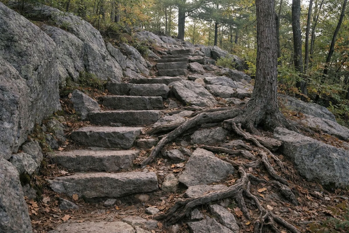
Park at the Trailside Museum's South lot at 1904 Canton Avenue, Milton, MA 02186 and follow the red dots straight up. DCR lists it at about 1 mile and 1 to 1.5 hours, and calls it a moderate climb even though Great Blue Hill is the biggest hill in the chain. It's steep and rocky in places. DCR's map points out that this trail crosses ancient lava flows, so the rock under your feet is the remains of a volcano.
2. The Paved Summit Road
From the Trailside Museum's North lot, you can walk the paved summit road instead. DCR lists it as an accessible route: 0.9 mile one way, with an average slope of 9 percent and a maximum of 20 percent. It's not easy, but it's smooth, with no rocks to scramble over. The road is closed to public cars.
3. The Skyline Loop From Headquarters
For a harder hike with more summits, start behind Reservation Headquarters at 695 Hillside Street, Milton, MA 02186. The blue-blazed Skyline Loop climbs the stone steps up Hancock Hill, crosses Hemenway Hill, and reaches Eliot Tower along the ridge. You come back over the stone Eliot Bridge and down the south branch of the Skyline. DCR's 2026 map lists the loop at 2.6 miles, 2 to 2.5 hours, difficult.
Eliot Tower
The Eliot Memorial Observation Tower is the stone lookout on the summit of Great Blue Hill. DCR's hiking directions tell you to climb it for a panoramic view, and its map says the view of Boston and the surrounding area is outstanding. An accessible path leads to the tower, with interpretive displays and accessible picnic tables.
The tower is named for Charles Eliot (1859–1897), the landscape architect who pushed for the Metropolitan Parks System. The Blue Hills were one of that system's first purchases, in 1893. DCR's map quotes his idea that crowded city dwellers need space for air, light, exercise and rest.
DCR credits the Civilian Conservation Corps, who worked in the Blue Hills from 1933 to 1937, with building two stone observation towers in the reservation, and its archive photo of Eliot Tower under construction is dated 1937.
Blue Hill Observatory
Next to Eliot Tower is the Blue Hill Observatory and Science Center, a National Historic Landmark that has kept a continuous daily weather record since 1885. It's run by a nonprofit and offers tours for a fee, with a gift shop that sells drinks and trail snacks.
What You'll See on the Way Up
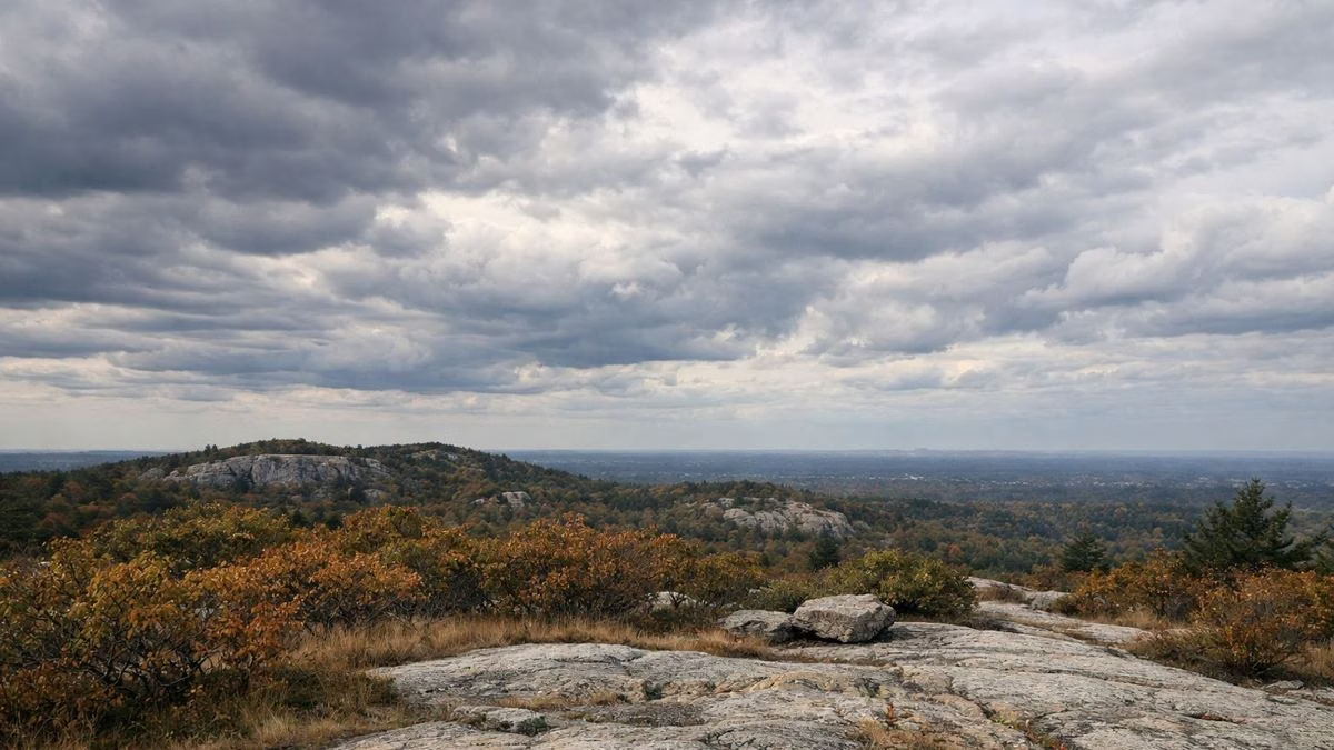
DCR's map explains the landscape. The Blue Hills are the remains of volcanoes that erupted about 440 million years ago and collapsed. During the last ice age, a glacier scraped the hilltops bare and left only a thin layer of soil, which is why the summit is open rock instead of forest.
Scrub oak, pitch pine and blueberry bushes grow in the dry, acidic soil up top. In early spring and fall, watch for hawks and turkey vultures riding the air currents over the summit during migration.
Tips for Hiking Great Blue Hill
- Go early on weekends. DCR warns that parking is limited and use is heavy, especially on weekends.
- Wear shoes with grip. The red dot trail is rocky and gets slick when wet or icy.
- Bring water. DCR warns it may not be available on site.
- The park closes at dusk. If you're watching the sunset, bring a headlamp for the walk down and leave enough time.
- Dogs are welcome on a leash on the trails, but not on the Trailside Museum grounds.
Parking options and directions are on our parking page, and the trail map page explains the colored blazes and intersection numbers.
Great Blue Hill FAQ
How tall is Great Blue Hill?
635 feet above sea level, according to DCR. It's the highest of the 22 hills in the Blue Hills chain.
How long does it take to hike Great Blue Hill?
DCR lists the red dot trail from the Trailside Museum at about 1 mile, taking 1 to 1.5 hours. The Skyline Loop from Reservation Headquarters is 2.6 miles and takes 2 to 2.5 hours.
Can you climb Eliot Tower?
Yes. DCR's hiking directions tell visitors to climb the tower for a panoramic view of Boston. An accessible path leads to the tower from the summit road.
Can you drive to the top of Great Blue Hill?
No. The paved summit road is closed to public vehicles, but you can walk it. DCR lists it at 0.9 mile one way, with an average slope of 9 percent.
Where do you park to hike Great Blue Hill?
Most hikers use the Trailside Museum lots on Route 138 (Canton Avenue). The South lot is closest to the red dot trail; the North lot is at the start of the summit road.
Facts from the DCR page for Blue Hills Reservation.