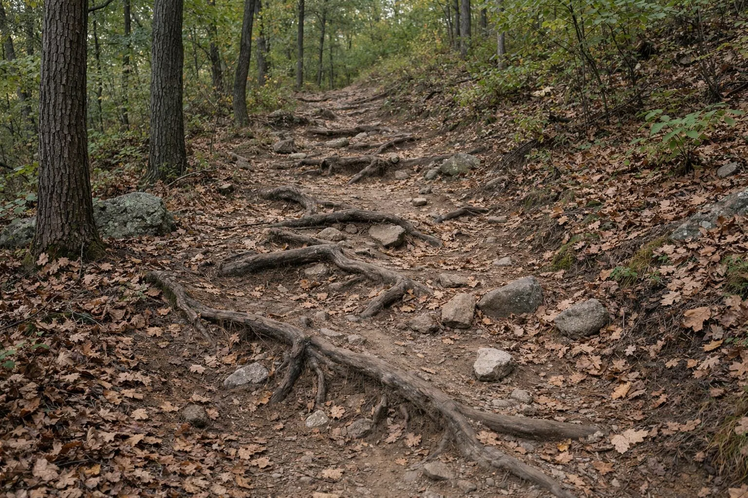
Best Hikes in the Blue Hills
The Blue Hills Reservation has more than 120 miles of trails in what DCR calls the largest open space within 35 miles of Boston. The best hikes are Great Blue Hill from the Trailside Museum (about a mile to the top), the Skyline Loop from Reservation Headquarters (2.6 miles, hard), the flat Houghton's Pond Loop, and the Ponkapoag Pond Loop (3.75 miles). DCR lists no entrance fee, and the reservation is open dawn to dusk.
Below are the ten hikes DCR recommends, grouped by difficulty, with DCR's distances and starting points, plus the full Skyline Traverse.
Easy Hikes
DCR says these are good for families with young children.
Houghton's Pond Loop: 0.75 Mile, 30 Minutes
A flat walk around the pond, marked with yellow dots, starting at the Houghton's Pond Recreation Area, 840 Hillside Street, Milton, MA 02186. DCR recommends it for fall foliage. Restrooms and parking are free.
Dark Hollow Loop: 2 Miles, 1.5 Hours
A mostly level woodland loop from Houghton's Pond, marked with green dots, that circles the base of Tucker Hill. To make it a moderate hike, follow the green dots to the blue-blazed Skyline Trail.
Wolcott & Border Path: 2.5 Miles, 1 to 1.75 Hours
A fairly level walk through tall pines and hemlocks from Reservation Headquarters on Hillside Street. Follow the woodland lane (Wolcott Path) about half a mile to Five Corners, intersection 1141, where five trails meet, and loop back by Border Path. Parking is across the street from headquarters.
Wolcott Path Loop: 2 Miles, 1 to 2 Hours
A level trail through hardwood forest from the Trailside Museum's north lot, 1904 Canton Avenue, Milton, MA 02186. Follow the green dots from the bulletin board. DCR's suggested-hikes sheet describes a 2.5-mile version around the base of Wolcott Hill, through Wildcat Notch, which it rates moderate.
Braintree Pass Path: 3 Miles, 2 to 2.5 Hours
DCR calls this one of the gems of the reservation. It passes hemlocks, slopes of mountain laurel and an Atlantic cedar swamp, and the cellar hole of the Glover Homestead, where farmers settled centuries ago. Park in the small pull-off at Route 28 and Chickatawbut Road in Quincy (intersection 3024). The trail skirts the Great Cedar Swamp and returns on the red-marked Bouncing Brook Path.
Moderate Hikes
Hancock Hill: 0.5 Mile, 30 Minutes
A short, steep climb from Reservation Headquarters with a good view from the top. Follow the North Skyline Trail up to intersection 1162, turn left, then left again at intersection 1160 onto Wolcott Path to return.
Great Blue Hill: About 1 Mile, 1 to 1.5 Hours
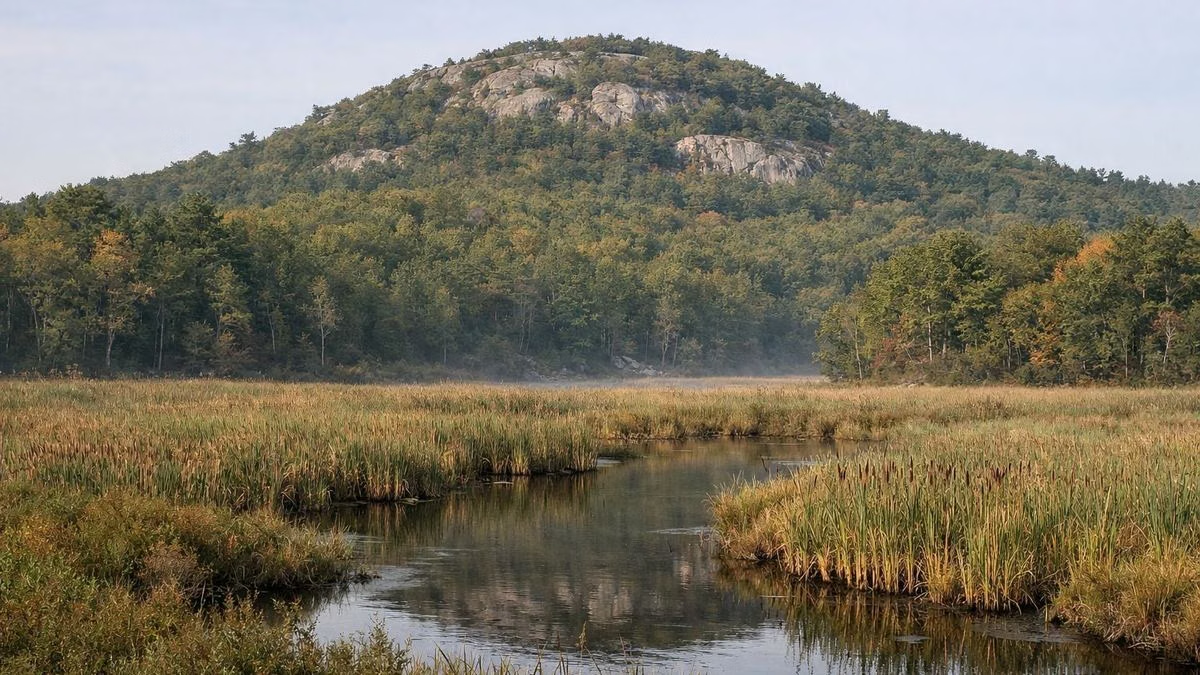
The classic Blue Hills hike to the highest summit, Eliot Tower and the observatory. From the Trailside Museum, take the red dot trail straight up from the South lot, or walk the paved road from the North lot. Full details are on our Great Blue Hill page.
Ponkapoag Pond: 3.75 Miles, 2.5 to 3 Hours
A quieter, flatter loop around the largest and most remote pond in the reservation, marked with green dots. DCR's rangers recommend the boardwalk across the bog. Park at Ponkapoag Golf Course on Route 138 or at Fisherman's Beach off Randolph Street in Canton. See our Ponkapoag Pond page.
Challenging Hikes
Skyline Loop: 2.6 Miles, 2 to 2.5 Hours
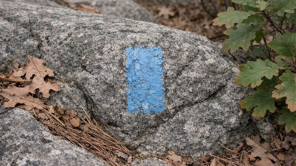
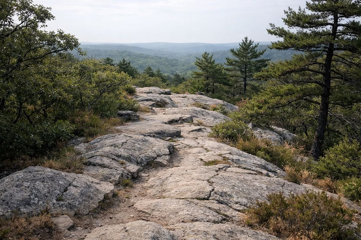
The most popular hard hike in the park. From behind Reservation Headquarters at 695 Hillside Street, Milton, MA 02186, follow the blue blazes up the stone steps of Hancock Hill and along the ridge to Eliot Tower on Great Blue Hill, then return by the south branch of the Skyline. DCR's older hiking page calls it 3 miles; the 2026 map says 2.6. Step-by-step directions are on our Skyline Trail page.
Buck Hill Loop: 3.5 Miles, 2 to 3 Hours
A hard climb to the rocky top of Buck Hill, with a wide view over the reservation. From the Houghton's Pond bulletin board, follow red dots past the beach and bathhouse and over Breeze Hill, then climb Tucker Hill and Buck Hill on the Skyline Trail. DCR's suggested-hikes sheet notes the more gradual way up is to the left at intersection 2071.
Full Skyline Traverse: 7.5 Miles, 4 to 7 Hours
The whole ridge, east to west. DCR calls it the longest and most challenging hike in the park. It's one way, so plan a car or ride at the far end.
Chickatawbut Hill and the Overlook
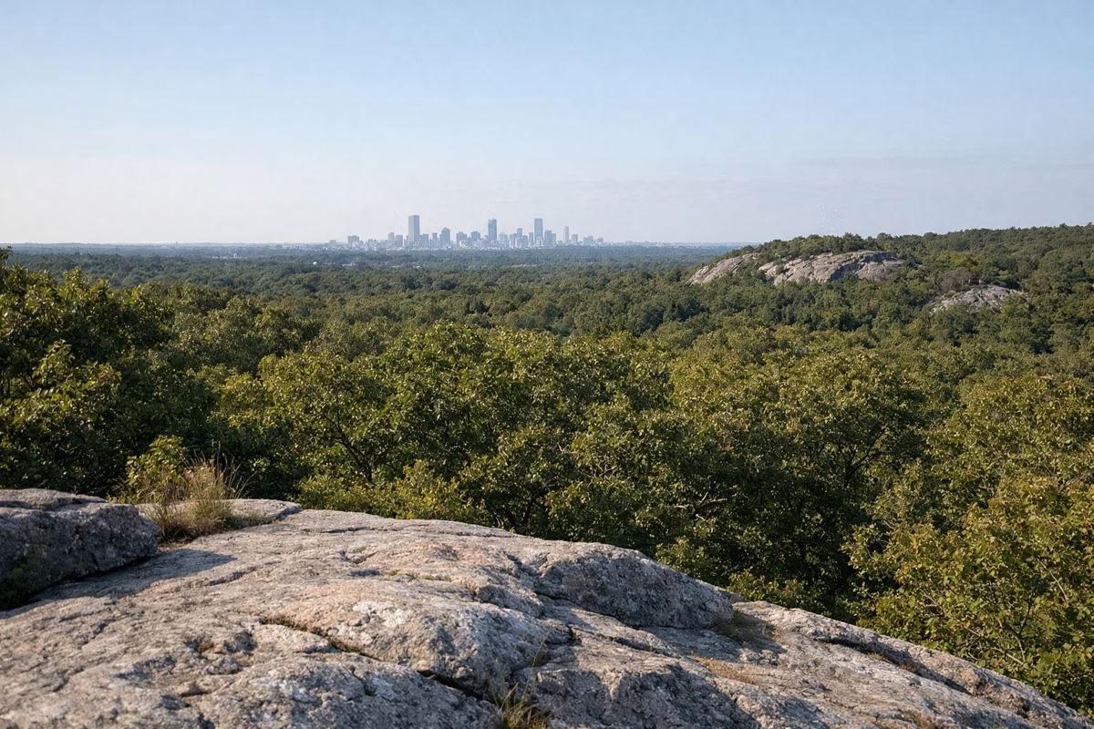
Chickatawbut Hill, in the middle of the reservation, rises to 512 feet on DCR's map. Mass Audubon's Norman Smith Environmental Education Center sits on top and runs programs there. Below it, Chickatawbut Overlook on Chickatawbut Road has a parking area, picnic tables with charcoal grills, and a view of the Boston skyline you can reach by car. MBTA bus 240 (Ashmont to Avon Square) serves this part of the park.
Mountain Biking
All reservation trails are multi-use, and bikers must yield to hikers and horses. Biking is allowed only on trails shown in black on DCR's mountain bike map, in the Great Blue Hill, Houghton's Pond, Ponkapoag, Ponkapoag East, West Street, Little Blue Hill and Fowl Meadow sections. It is not allowed east of Route 28 or north of I-93, to protect endangered species.
- All bike trails close for the month of March because of soil conditions.
- Groups of six or more riders need a special use permit from Reservation Headquarters.
- State law requires riders under 16 to wear a helmet.
- For a first ride, DCR suggests the 6-mile Forest Path Loop (white triangles) from Houghton's Pond, ridden counterclockwise.
Horseback Riding
DCR says riding is popular with equestrians from private stables nearby. Many of the wider trails are old carriage roads that suit trail riding. Horses are not allowed on the Houghton's Pond beach or on the Trailside Museum grounds.
Before You Go
- Carry a map. DCR sells color maps at headquarters and the Trailside Museum, and the PDF is free.
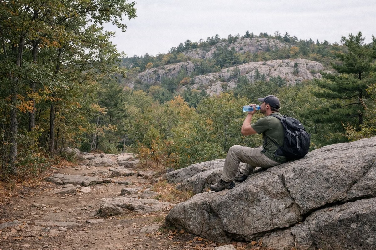
- Bring water. Drinking water may not be available at trailheads.
- Plan time. DCR's average hiker pace is 1.5 miles an hour, and the rocky trails are slower.
- Leash dogs: DCR's suggested-hikes sheet says a 10-foot leash maximum.
- Stay on marked trails. The Blue Hills have 13 species listed as endangered or threatened in Massachusetts, including timber rattlesnakes and copperheads, which avoid people.
- Be off the trail by dusk, when the reservation closes. See hours and parking.
Blue Hills Hiking FAQ
What is the best hike in the Blue Hills?
For a first visit, Great Blue Hill from the Trailside Museum: about a mile on the red dot trail to the highest summit, Eliot Tower and the observatory. For a harder hike, the Skyline Loop from Reservation Headquarters crosses five hilltops.
Are there easy hikes in the Blue Hills?
Yes. The Houghton's Pond Loop is a flat 0.75 mile, about 30 minutes. The Dark Hollow Loop and the Wolcott & Border Path are mostly level woodland walks of 2 to 2.5 miles.
Is hiking in the Blue Hills free?
DCR lists no entrance fee for the reservation, and parking at Houghton's Pond is free. DCR's hike sheet notes that fees may apply at some trailhead lots, and the Trailside Museum and observatory charge their own admission.
Can you mountain bike in the Blue Hills?
Yes, on trails marked in black on DCR's mountain bike map. Biking is banned east of Route 28 and north of I-93, and all bike trails close for March.
Can I bring my dog hiking in the Blue Hills?
Yes, on a leash. DCR's suggested-hikes sheet sets a 10-foot maximum. Dogs are not allowed on the Houghton's Pond beach or on the Trailside Museum grounds.
Facts from the DCR page for Blue Hills Reservation.